

INTRODUCTION
What is GNSS?
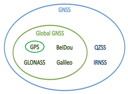
GNSS stands for Global Navigation Satellite System. The main GNSS systems include GPS, GLONASS, QZSS, and BeiDou. These satellite systems transmit signals to the earth, allowing the receiver to determine its own position by calculating the propagation time of the signals and the position of the receiving satellite, thus achieving functions such as positioning and navigation.
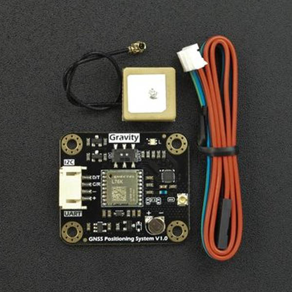
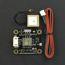
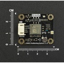
What is Gravity: GNSS GPS BeiDou receiver module?
This GNSS BeiDou positioning module supports multi-satellite system joint positioning and provides high-precision, high-speed, and stable data such as longitude, latitude, time, and altitude. It is suitable for various outdoor positioning scenarios, such as vehicle positioning, item tracking, weather stations, and outdoor positioning.
Multi-Satellite System
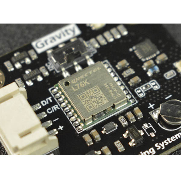
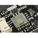
This GNSS receiver module uses the GNSS positioning system and support satellite systems such as BeiDou, GPS, GLONASS, QZSS, etc. Compared with traditional single GPS positioning, joint positioning using multiple systems increases the number of visible and usable satellites, which improves positioning accuracy and speed. It can also achieve stable high-precision positioning even in complex environments, providing more accurate positioning data.
In smart farms, GPS signals may be interfered with due to terrain and vegetation, leading to a decrease in positioning accuracy. However, using the GNSS receiver module's multiple satellite systems can reduce signal interference and improve positioning accuracy and speed, thereby achieving precise farmland management and crop planting.
Stability
Because of multi-satellite system joint positioning, even if some satellite signals are affected by weather and terrain, other satellites can still provide reliable positioning data, ensuring positioning accuracy and reliability.
For example, in ship positioning, where the climate and terrain at sea can greatly change, positioning accuracy and stability are important. This product supports joint positioning of multiple satellite systems, which can effectively improve positioning accuracy and stability and meet the requirements of ship positioning.
Ease of Use
This GNSS receiver module has two data output types: I2C and UART, and is compatible with mainstream control devices such as Arduino, ESP32, and Raspberry Pi. This makes the product flexible enough to adapt to different application scenarios, support multiple interfaces and protocols, and facilitate customer integration and development.

FEATURES
- Supports both single and multiple systems positioning
- Higher precision and faster speed than traditional single GPS positioning
- More Stability
- Ease of Use
SPECIFICATION
- Operating Voltage: 3.3 to 5.5V DC
- Output Signal: I2C/UART
- Positioning Accuracy: 2.0m CEP
- Time for First Positioning: 30s for cold start; 2s for hot start
- Power Consumption: 40mA
- Antenna Interface: IPEX1
- Antenna Frequency: 1561-1575.42MHz±3MHz
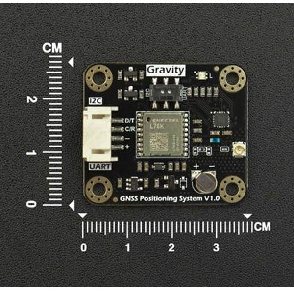
- Dimension: 27mm*37mm